

Map
In the admin: New DataView › Map · Settings › Views › Map
A Map shows each row as a pin at its location. Use it for anything with a place: sites, stores, deliveries, vehicles.
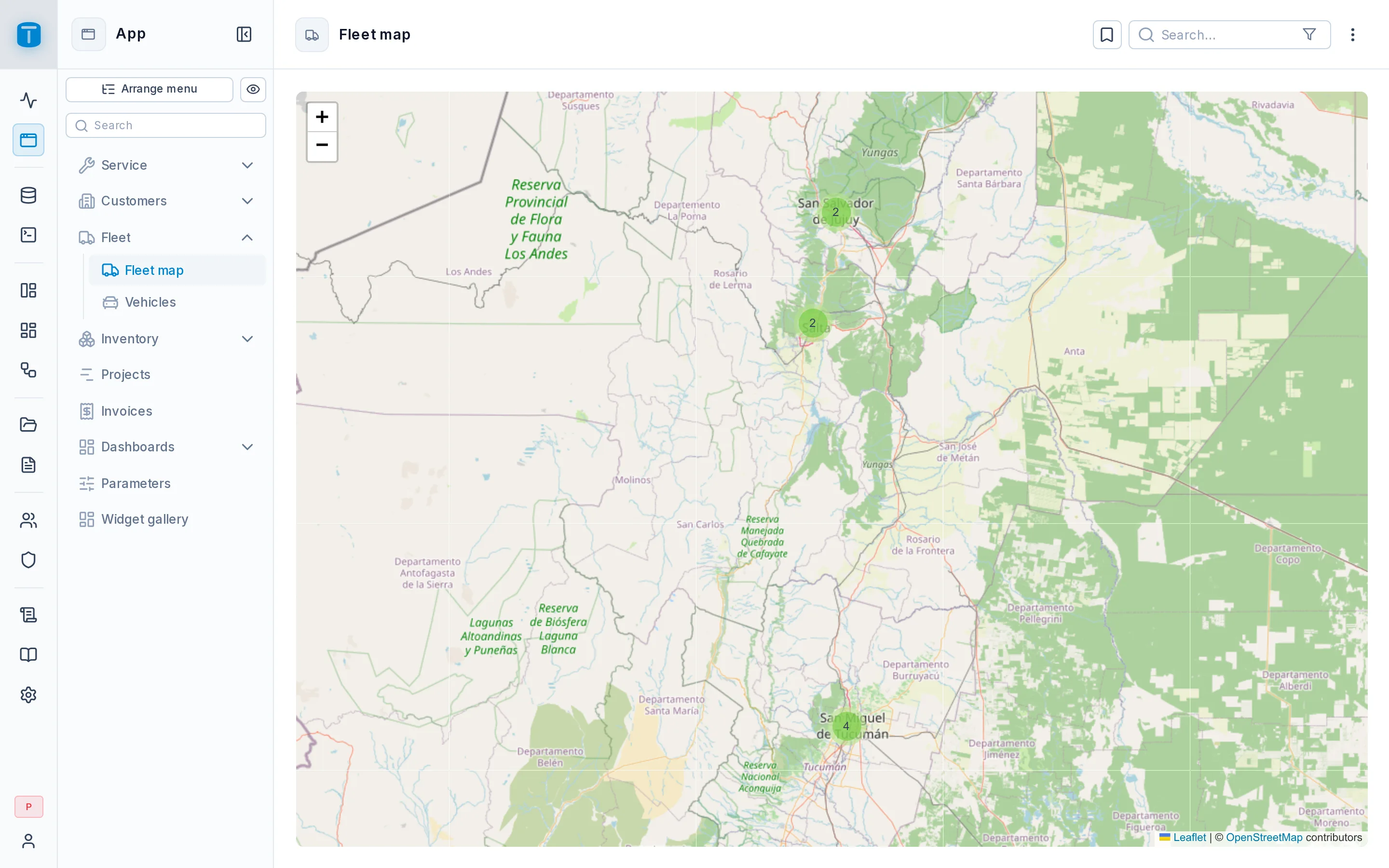
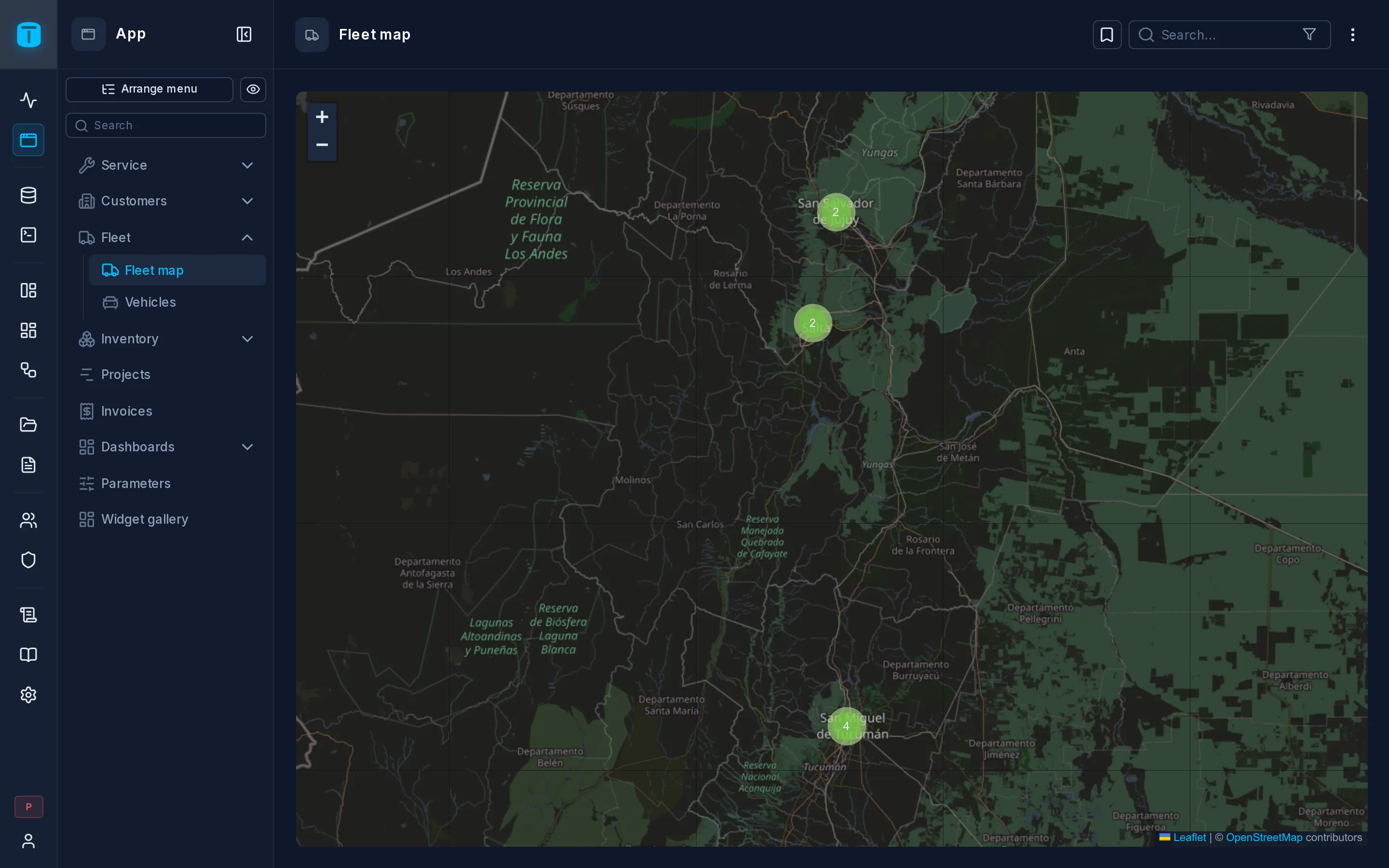
Acme has two: Sites, every customer site colored by the branch that serves it, and Fleet map, each vehicle's latest GPS position, refreshed every 10 seconds.
What it needs
A location, in one of two forms:
- A point column: one
pointcolumn, such as Acme'ssites.location. This is what Add column › Coordinates creates. - Latitude and longitude: two numeric columns.
Over a view works too: Acme's fleet map reads a view of each vehicle's latest position.
The layout
| Field | |
|---|---|
| Location | A point column or Latitude and longitude, and the column or columns |
| Popup name | Required. The headline when a pin is clicked |
| Popup description | Optional, under the name |
| Icon, Color | Optional, a pin icon and color per row |
| Default pin icon, Default pin color | Used when there's no Icon or Color, or they're empty |
| Initial view | Where the map opens. Left on the whole world, it fits the pins instead |
Name, description, icon and color take a column or a formula.
What users can do
- Pan and zoom. Nearby pins group into clusters that open as you zoom in.
- Click a pin for its popup, with Edit and Delete where the user may.
Rows without valid coordinates are skipped, and the map says how many.
For a live map like Acme's fleet, turn on auto-refresh in Settings › Views › Presentation.
Tiles
Every map in TotalBase uses the instance's base map, set in Settings › Features › Maps: OpenStreetMap (the default, no key needed) or Mapbox, with a public token and a style.
Limits
Up to 500 pins (dataviews.map_max_points, in Settings › Features › DataViews).
Next steps
- Settings › Views: offer the sites as a table and a map at once.